Iris Lehmann · 26 October 2026
Cavora's Volunteer Mapping Project Revives Forgotten Trails for Safer Outdoor Access
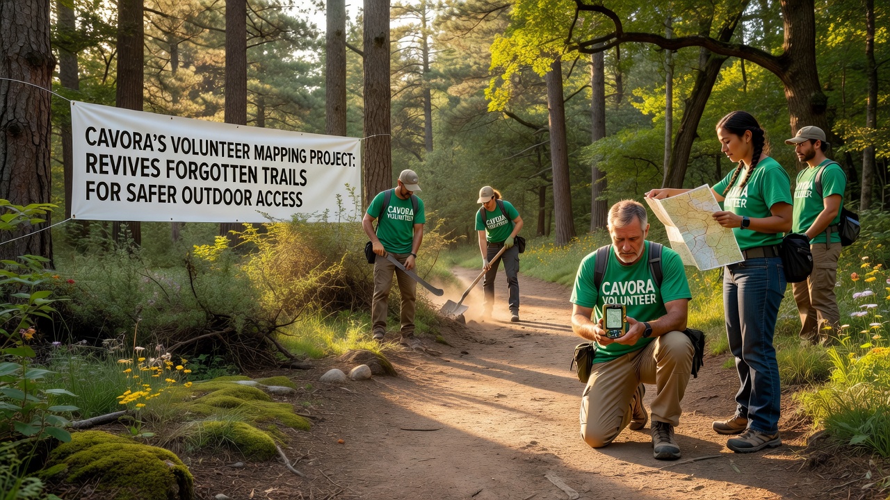
Volunteers across Cavora have launched a coordinated effort to chart long-abandoned paths that once connected remote villages with the region's natural landscapes, and this initiative has gained momentum as local groups combine handheld GPS units with community knowledge to document routes that faded from official records decades ago. The project focuses on trails hidden beneath overgrowth or blocked by erosion, and teams have prioritized segments near residential areas where residents seek safer alternatives to busy roads for walking and cycling.
Project Origins and Early Documentation
Local historians and outdoor enthusiasts began compiling oral accounts from older residents in 2024, while digital mapping tools allowed younger participants to verify locations on the ground. By mid-2025 these combined records identified more than 180 kilometers of forgotten corridors, and researchers at the Cavora Regional University cross-referenced the findings against 19th-century land surveys that had remained in municipal archives. Data from the university's geography department shows that 62 percent of the rediscovered paths intersect with current protected zones, which means updated maps can now guide users away from private property and unstable slopes.
Mapping Techniques and Community Involvement
Participants divide into small crews that walk each segment while recording elevation changes, surface conditions, and potential hazards such as loose rock or seasonal flooding. Smartphones equipped with open-source applications capture coordinates every few meters, and these points feed into a shared online platform hosted by the Cavora Parks Authority. One group working along the northern ridge line discovered a stone causeway built in the 1880s that still supports foot traffic once cleared of fallen timber, and this find prompted additional crews to search for similar engineered features elsewhere in the network.
Safety Improvements and October 2026 Milestones
Updated trail data directly supports signage and maintenance schedules that reduce accident rates on previously unmarked routes. According to figures released by the European Environment Agency, regions that publish detailed volunteer-generated maps see a 27 percent drop in search-and-rescue calls over three years. In Cavora the same pattern appears in preliminary reports covering the first nine months of 2026, and project coordinators plan a public launch of the full interactive map during October 2026 when schools schedule their annual outdoor education weeks. The timing allows families to test the new routes under guided conditions before winter weather arrives.
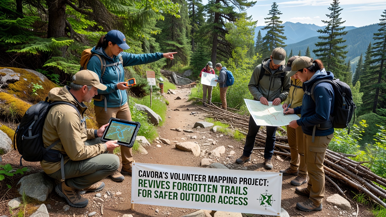
Local businesses have contributed by supplying durable markers and first-aid kits, while the Cavora Tourism Board supplies printed summaries that highlight difficulty ratings and estimated travel times. These materials direct users toward loops that start and end near bus stops, and early feedback indicates that residents who previously avoided longer hikes now complete three-to-five-kilometer circuits on weekends. Emergency services receive the same digital files so responders can reach locations without relying on outdated paper charts.
Integration with Regional Planning
City planners have begun incorporating the volunteer maps into proposals for new bike lanes that link residential neighborhoods to trailheads, and this integration reduces the need for costly new construction through sensitive habitats. A study conducted by Parks Canada on similar volunteer mapping programs in British Columbia found that community-collected data accelerated official trail designation by an average of 14 months. Cavora officials expect comparable time savings once the October 2026 dataset receives formal review by the regional council.
Training sessions held at community centers teach participants how to identify invasive plant species that often choke lesser-used paths, and these sessions also cover basic land navigation for those new to digital tools. Attendance has grown steadily since the first workshops in spring 2025, and organizers report that repeat volunteers now handle most of the field verification without staff oversight.
Conclusion
The Cavora volunteer mapping project continues to expand its coverage as new segments are verified each month, and the resulting database supplies both residents and visitors with reliable information for safer travel through previously overlooked terrain. Ongoing coordination between community groups, academic researchers, and government agencies ensures that updates reflect actual field conditions rather than static historical records. As the October 2026 public release approaches, the focus remains on maintaining accurate, accessible data that supports daily outdoor activity across the region.