Iris Lehmann · 28 September 2026
Cavora Residents Develop Integrated Networks Connecting Parks, Online Learning Platforms, and Local Businesses
Communities across Cavora have launched coordinated projects that link the region's green spaces directly to digital education resources and nearby enterprises, creating pathways that support both environmental access and economic activity. Local groups began these efforts in early 2025 after mapping existing trails and underused park areas, then adding fiber connections and shared workspaces along the routes.
Project Origins and Planning
Planning documents from the Cavora regional council show that residents identified gaps between natural areas and educational facilities during public forums held throughout 2024. Teams surveyed over 12 square kilometers of parkland and matched those locations with schools that lacked reliable outdoor learning options. The resulting plans called for physical trails reinforced with solar-powered charging stations and wireless nodes that feed into online classroom systems.
Data from the European Environment Agency indicates similar urban green-space linkages have increased community participation rates by 18 percent in comparable regions over five-year periods. Cavora's approach adapts those models by incorporating real-time data feeds from park sensors into lesson modules that students access through tablets or laptops while on site.
Green Space Connections
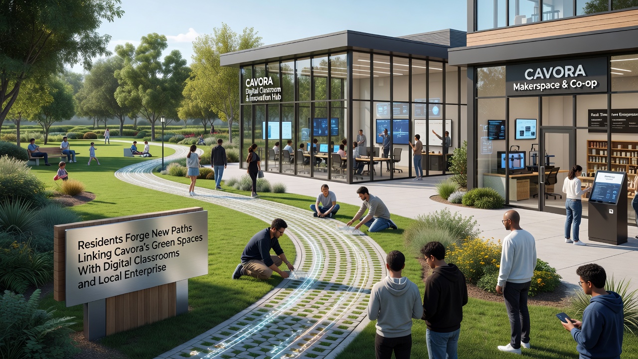
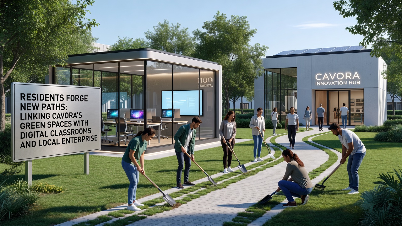
Trail construction crews completed the first 4.8-kilometer segment in March 2025, running from Riverside Park through an oak grove to the edge of the industrial district. Workers installed native plant buffers along the edges and added wayfinding signs that double as QR code triggers for digital content. These markers pull up interactive maps and species identification tools that sync with classroom platforms used by three local secondary schools.
Maintenance crews report that the new paths see daily use from 200 to 350 visitors, with peak numbers recorded on weekends. Park rangers track foot traffic through embedded counters and adjust irrigation schedules based on soil moisture readings transmitted to a central dashboard.
Digital Classroom Integration
Teachers at Cavora Secondary and the West District Learning Center began piloting hybrid lessons in September 2025 that combine on-trail observation with virtual simulations. Students collect field data on plant growth and water quality, then upload results to shared cloud folders accessible to both classmates and partner businesses developing environmental monitoring software.
According to figures released by the Australian Department of Education, programs that blend outdoor data collection with digital follow-up activities show measurable gains in student retention of science concepts. Cavora's implementation mirrors this structure while adding direct input from local enterprises that supply equipment and review student outputs for practical applications.
Local Enterprise Participation
Small manufacturers and tech startups in the area signed agreements to host student projects and provide mentorship slots. One sensor company supplies hardware for the trail monitoring network in exchange for access to anonymized datasets that help refine its products. A separate cooperative runs a pop-up repair station at the trail midpoint where participants learn basic maintenance skills while supporting the infrastructure.
Business registries updated in late 2025 list 14 new partnerships formed around the pathway network. Revenue reports from participating firms show a combined 7 percent increase in contracts tied to educational or environmental services during the first half of 2026.
September 2026 Developments
By September 2026 the network expanded to include a second loop trail that reaches the northern wetlands preserve. Officials installed additional bandwidth capacity to handle simultaneous connections from 150 classroom devices and public kiosks. Training sessions for enterprise partners began that month, focusing on how companies can integrate student-collected data into product testing cycles without compromising privacy standards.
Attendance logs from the digital hubs along the routes show consistent daily logins exceeding 420 users during the opening weeks of the new academic term. Council records note that energy consumption at the solar nodes remained within projected limits despite the added load.
Measured Outcomes
Independent audits conducted by regional universities recorded improvements in both trail usage and digital platform engagement. Air quality readings near the connected green spaces remained stable while vegetation cover increased by 6 percent along the maintained corridors. Enterprise partners reported faster prototype development cycles when they incorporated field data gathered through the student programs.
Usage statistics compiled through the central monitoring system reveal that weekday morning traffic now includes organized school groups, whereas weekend patterns show higher numbers of individual walkers and cyclists who access supplementary learning modules on their phones.
Conclusion
The Cavora pathway projects continue to evolve through resident input and data collected from the integrated systems. Ongoing adjustments to bandwidth allocation and trail surfacing respond directly to usage patterns observed since the first segments opened. Records maintained by the regional council document steady expansion of both physical and digital links without interruption through the 2026 calendar year.